Toronto’s South Core and waterfront are home to businesses, residences, park areas and some of the most significant development in North America today. The area is also a major transportation hub with Union Station, Billy Bishop Toronto City Airport and Toronto’s Harbour providing access for both people and products into the heart of the city, by rail, plane and boat. However, the South Core and waterfront was not always a thriving neighbourhood. Just 100 years ago, much of the area was swamp land.
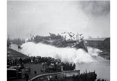
May 24 to June 7, join PortsToronto for our Making Connections to Toronto’s Waterfront – a Historical Retrospective photo exhibit at WaterPark Place (located at 10 Bay Street), which will showcase the incredible transformation that the city’s waterfront has undergone over the last century. Fifty historical photos selected from the rarely viewed PortsToronto Archive will feature the Port of Toronto and Harbour, Billy Bishop Toronto City Airport and other key points along the waterfront that have played a significant role in the development of the city as a commercial and cultural hub of Canada.
Photos, dating back to the early 1900s, will also highlight the important role that PortsToronto has played in the shaping of Toronto’s waterfront. From the creation of the Port Lands and the building of the quays that extend into Toronto’s Harbour to the development of the Leslie Street Spit and construction of Billy Bishop Toronto City Airport, PortsToronto has added more than 2,000 acres of land to construct Toronto’s waterfront from the mouth of the Humber River to Ashbridges Bay. To view a sampling of the photos that will be on display during the exhibit,
click here.